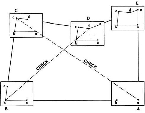
Different Types of Levels Used for Leveling in Surveying
There are various types of levels for leveling in surveying. The process of measuring vertical distances in surveying is called leveling.
To perform leveling, we need some level instruments to focus or to read the object. Nowadays, the technology also introduced in surveying and so many easy measuring instruments are designed. Here we discuss about the different levels used in leveling.
Types of Levels Used in Leveling
Following are the types of different levels used for leveling in surveying:
Dumpy level
Y level
Cushing’s level
Tilting level
Cooke’s reversible level
Automatic level
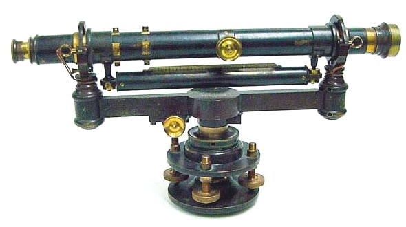
Dumpy Level
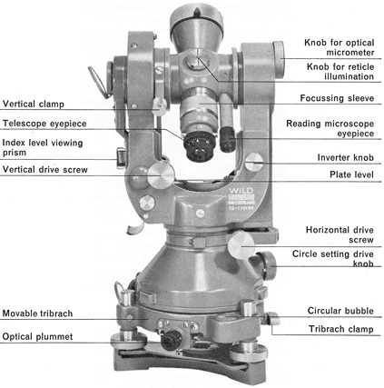
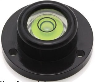
Dumpy level is the most commonly used instrument in leveling. In this level the telescope is restricted against movement in its horizontal plane and telescope is fixed to its support. A bubble tube is provided on the top of the telescope.
But however, the leveling head can be rotated in horizontal plane with the telescope. The telescope is internal focusing telescope is a metal tube contains four main parts as given below.
Objective lens
Negative lens
Diaphragm
Eye-piece
Objective Lens
Objective lens should be made as the combination of crown glass and flint glass. Because of this some defects like spherical aberration and chromatic aberration can be eliminated. A thin layer coating which has smaller refractive index than glass is provided on the objective lens to reduce the loss due to reflection.
Negative Lens
Negative lens located co axial to the objective lens. So, the optical axis for both lenses is same.
Diaphragm
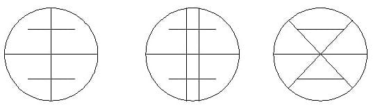
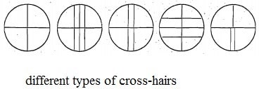
Diaphragm is fitted inside the main tube which contains cross hairs (vertical and horizontal) and these are adjusted by capstan headed screws. The cross hairs are made of dark metal as filament wires which are inserted in diaphragm ring in exact position. For stadia leveling purposes, extra two horizontal cross hairs are provided above and below the horizontal wire.
Eyepiece
Eyepiece lens enable the ability to sight the object together with cross hairs. The image seen through eye piece is magnified and inverted. Some eyepieces erect the image into normal view and those are called as erecting eyepieces.
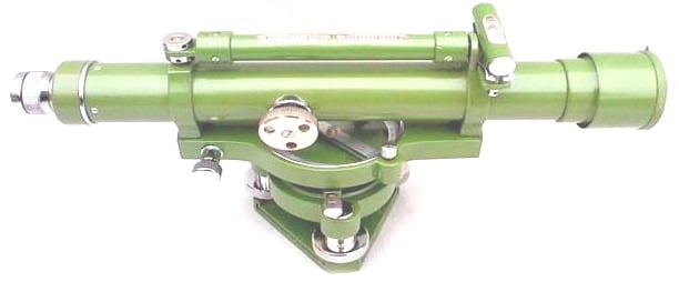
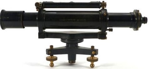
Y Level
Y level or Wye-level consists y-shaped frames which supports the telescope. Telescope cane be removed from the y-shaped supports by releasing clamp screws provided. These y-shaped frames are arranged to vertical spindle which helps to cause the rotation of telescope.
Compared to dumpy level, adjustments can be rapidly tested in y- level. But, there may be a chance of frictional wear of open parts of level.
Cushing’s Level
In case of Cushing’s level, the telescope is restricted against rotation in its longitudinal axis and it is non-removable. But, the object end and eye piece end can be interchangeable and reversible.
Tilting Level
Tilting level consist a telescope which enabled for the horizontal rotation as well as rotation about 4 degree in its vertical plane. Centering of bubble can be easily done in this type of level. But, for every setup bubble is to be centered with the help of tilting screw.
The main advantage of tilting level is it is useful when the few observations are to be taken with one setup of level.
Cooke’s Reversible Level
Cooke’s reversible level is the combination of dumpy level and y-level. In this instrument, the telescope can be reversed without rotation the instrument. Collimation error can be eliminated in this case because of bubble left and bubble right reading of telescope.
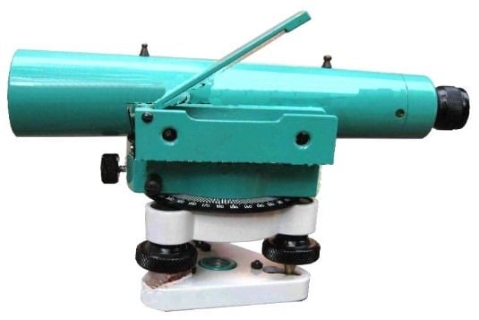
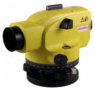
Automatic Level
Automatic level is like the dumpy level. In this case the telescope is fixed to its supports. Circular spirit can be attached to the side of the telescope for approximate leveling. For more accurate leveling, compensator is attached inside the telescope.
Compensator can help the instrument to level automatically. Compensator is also called as stabilizer which consists two fixed prisms and it creates an optical path between eye piece and objective.
Due to the action of gravity, the compensator results the optical system to swing into exact position of line of sight automatically. But before the process of leveling, compensator should be checked.
To check the compensator, just move the foot screws slightly if the leveling staff reading remains constant then compensator is perfect. If it is not constant, then tap the telescope gently to free the compensator. Automatic level is also called as self-adjusting level.